
FORECAST AMERICAN
Live observations for the Americas — pole to pole, on one map
The Americas
LOADING…Click a country for its observations and its places. Drawn in Lambert azimuthal equal-area on 15°N 88°W, out in the Gulf of Honduras — an equal-area projection because the point of a map of this hemisphere is that Greenland is smaller than Brazil, and an azimuthal one because the Americas are long in every direction and there is no standard parallel that would be right for both Ellesmere and Tierra del Fuego. The three dashed lines are the Tropic of Cancer, the equator and the Tropic of Capricorn, which between them explain most of the weather on this page.
TOO SMALL TO LABEL, AND NOT TOO SMALL TO COVER
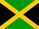 Jamaica
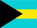 The Bahamas
 Trinidad and Tobago
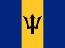 Barbados
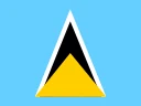 Saint Lucia
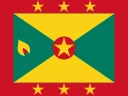 Grenada
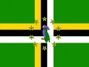 Dominica
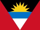 Antigua and Barbuda
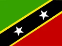 Saint Kitts and Nevis
 Saint Vincent and the Grenadines
 Puerto Rico
 U.S. Virgin Islands
 British Virgin Islands
 Cayman Islands
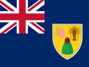 Turks and Caicos Islands
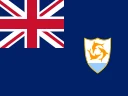 Anguilla
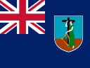 Montserrat
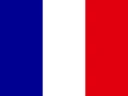 Guadeloupe
 Martinique
 Saint Barthélemy
 Saint Martin
 Sint Maarten
 Aruba
Aruba Curaçao
 Caribbean Netherlands
Three models
GEM · GFS · ECMWFThree national centres run a global model over this hemisphere, and the explorer puts them on the same ground at the same instant — switching between them holds the valid time, not the forecast hour, because the three run on different cycles and +20 h on one is not +20 h on another. Pin a point and all three are read at once, in one unit system. South of Mexico there is no high-resolution national model to fall back on, which is exactly why comparing the global guidance matters here more than anywhere else on this network.
The Canadian global model
Environment and Climate Change Canada's GDPS — the member Canada contributes to the multi-model ensembles everyone else reads.
The American global model
Public domain, four cycles a day, and the guidance most of this hemisphere actually runs on.
The European global model
The most skilful global deterministic model in the world by most scores, and the one the others are measured against.
Compare them
One map, three centres, eight fields and ten days. Pin a point to read all three at the same instant.
Four regions
55 ENTRIES IN ALLThe continent the models were built for
Everything north of the Isthmus: the continent that gets the Arctic outbreak and the Gulf return flow in the same week, and the only ground in the Americas where all three of North America's national services — NOAA, MSC and Conagua — publish over the same storm.
Two coasts, forty miles apart
A land bridge narrow enough that the Caribbean and the Pacific write different forecasts for the same afternoon. The trades hit the eastern slope and rain themselves out; the Pacific side runs a wet season and a dry one, and the difference between them is the position of the ITCZ.
The basin the season is named for
Thirteen sovereign states and fifteen territories spread across 2,500 km of warm water, all of them downwind of the same easterly trades and all of them in the way of the same August-to-October track. The archipelago is small; the weather crossing it is not.
From the driest desert on Earth to the wettest basin
A continent that holds the Atacama and the Amazon at the same latitude, separated by one mountain range. The Andes decide almost everything here — where the moisture goes, where it does not, and where the low-level jet turns south to feed the largest thunderstorms on the planet.
The hemisphere right now
LIVE READING…Every card carries the temperature at the aerodrome nearest that country's capital, from the last hour of METAR reports. A blank one is a station that has not filed — which in this hemisphere is a real and ordinary thing, and is left blank rather than filled in with a guess.
North America
6 COUNTRIES & TERRITORIES CanadaForecast Canada↗
 United StatesForecast Eagle↗
 MexicoForecast Mexico↗
 GreenlandNuuk
 BermudaHamilton
 Saint Pierre and MiquelonSaint-Pierre
Central America
7 COUNTRIES & TERRITORIES GuatemalaGuatemala City
 BelizeBelmopan
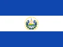 El SalvadorSan Salvador
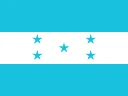 HondurasTegucigalpa
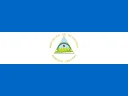 NicaraguaManagua
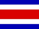 Costa RicaSan José
 PanamaPanama City
The Caribbean
28 COUNTRIES & TERRITORIES CubaHavana
 HaitiPort-au-Prince
 Dominican RepublicSanto DomingoJamaicaKingstonThe BahamasNassauTrinidad and TobagoPort of SpainBarbadosBridgetownSaint LuciaCastriesGrenadaSt. George'sDominicaRoseauAntigua and BarbudaSt. John'sSaint Kitts and NevisBasseterreSaint Vincent and the GrenadinesKingstownPuerto RicoSan JuanU.S. Virgin IslandsCharlotte AmalieBritish Virgin IslandsRoad TownCayman IslandsGeorge TownTurks and Caicos IslandsCockburn TownAnguillaThe ValleyMontserratBradesGuadeloupeBasse-TerreMartiniqueFort-de-FranceSaint BarthélemyGustaviaSaint MartinMarigotSint MaartenPhilipsburgArubaOranjestadCuraçaoWillemstadCaribbean NetherlandsKralendijk
South America
14 COUNTRIES & TERRITORIES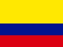
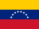
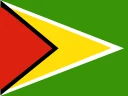
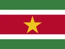

How to read this site
The observations are real, and they are aerodromes. Every number on this site is a METAR — the hourly observation an international airport files under ICAO Annex 3, moved on the WMO circuit and redistributed by NOAA. It is the only network that covers Nuuk and Ushuaia and Kralendijk on the same terms. What it is not is a reading in the town centre: each place here names its station, how far away it is and how high, and where that gap matters — El Alto is 400 m above La Paz — the page says so rather than hoping you do not notice.
Three countries are not covered here. Canada has Forecast Canada, the United States has Forecast Eagle, and Mexico has Forecast Mexico. Those three carry more model output than a country card can hold, and each deserves the room. Their cards here link out and say so.
This is not a warning service. Fifty-two countries and territories means fifty-two warning authorities, in four languages, and none of them is this site. Every country page links to the service that actually forecasts and warns for it — INSIVUMEH, SENAMHI, INMET, Météo-France, the CMO — and during a tropical cyclone the advisory that matters comes from the National Hurricane Center.
Also on this network
forecasteagle.com
NOAA's models on the same instrument — RRFS, HRRR, NDFD and the National Blend of Models, with a site per state under it.
forecastcanada.com
Environment Canada's HRDPS, RDPS and GDPS, and every province, territory and forecast centre.
forecastmexico.com
Conagua and the SMN, two hurricane seasons at once, and the plateau that keeps Mexico City cooler than its latitude.
weather.city
Where this network covers places rather than models — forecasts, climate and records, city by city.